Hovingham to Helmsley via Oswaldkirk (Ebor Way)
Scenic Rural Walk on the Ebor Way: Hovingham to Oswaldkirk and Helmsley
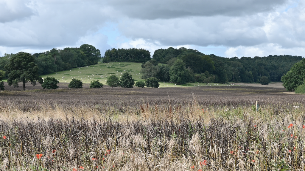
Discover a beautiful countryside walk along the Ebor Way from Hovingham to Oswaldkirk and Helmsley. Enjoy rolling hills, woodland paths, and charming North Yorkshire villages on this peaceful rural route filled with classic English scenery and local heritage.
The Helmsley to Rievaulx Abbey trail is one of the most scenic and accessible sections of the Cleveland Way National Trail, combining rich history with the natural beauty of the North York Moors National Park. Starting from the market town of Helmsley, the route follows well-marked paths through rolling farmland, shaded woodland, and gentle valleys. Along the way, walkers can enjoy sweeping views across the Rye Valley and the Howardian Hills, making it a rewarding experience for photographers and nature lovers alike. The walk is around six miles for the circular route, with moderate gradients suitable for most fitness levels.
Designed for moderate walkers, the Ebor Way provides a well-marked and varied journey through farmland, woodland, and historic trails that connect with other famous routes such as the Cleveland Way and the Dales Way. Each stage reveals a new side of Yorkshire’s countryside — from medieval churches and ancient lanes to sweeping valley views and quiet riverside stretches. Whether you choose to complete the full route or enjoy shorter sections like Hovingham to Helmsley, the Ebor Way promises a rewarding experience filled with charm, tranquility, and the timeless beauty of rural England.
2. Hovingham Bakery
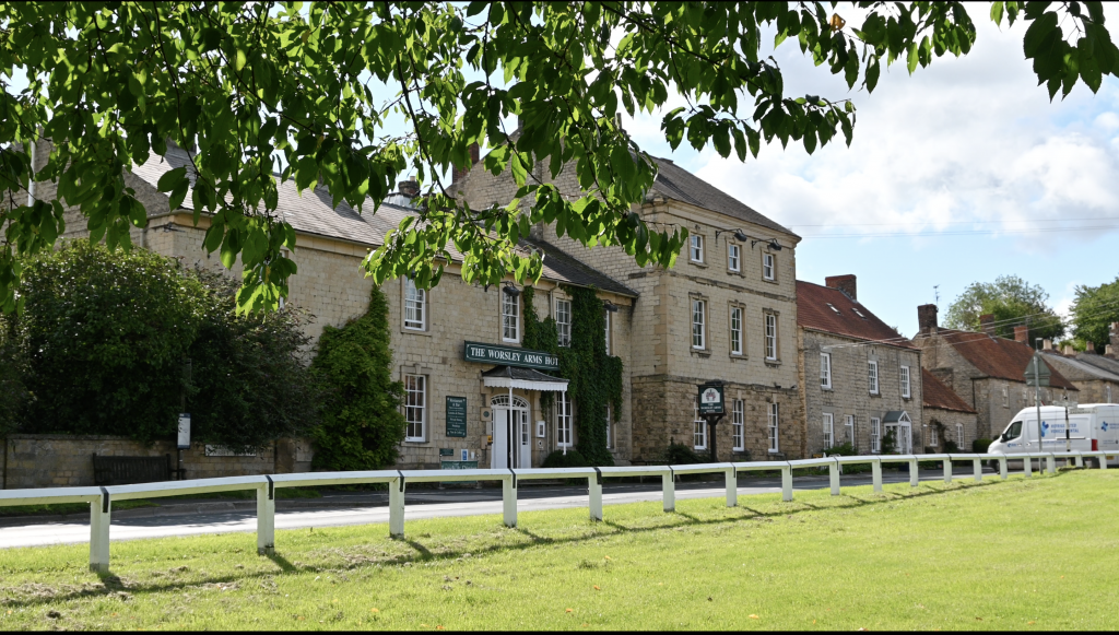
From Worsley Arms, follow the B1257 through the village with the former COE school on the left, and the former pub on the right.
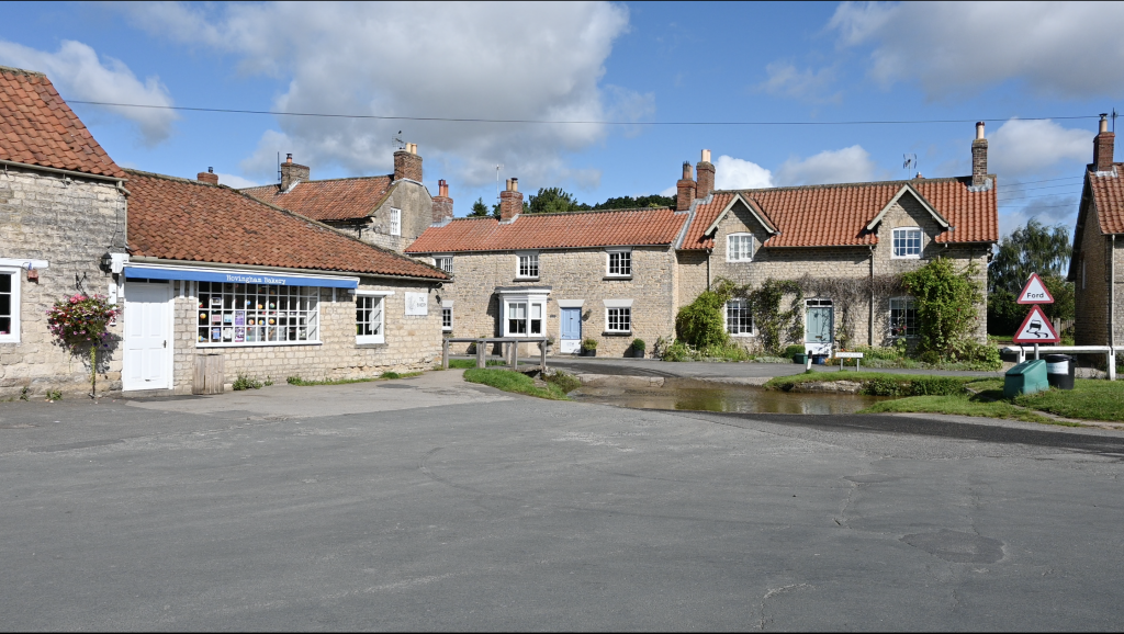
Carefully cross over the road and cross the footbridge over Marrs Beck between the bakery and the ford. At the other side, turn left and follow the public right of way.
3. Follow the Lane to the right.
The lane splits and you need to follow it right towards the grave yard. At the children’s park, there is a gate with a signpost for the Ebor Way. Go through the gate and follow the Ebor Way. The farm is on your left a short distance away.
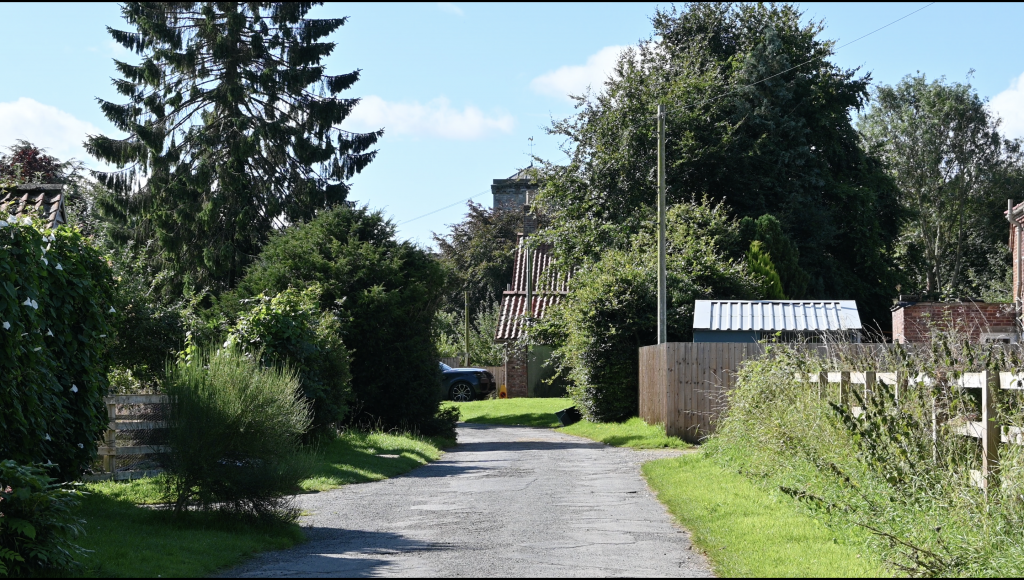
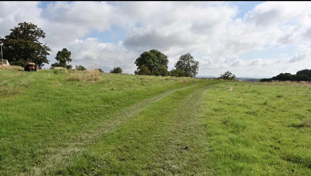
4. Follow the Ebor Way to Cawton.
This stretch is very straight forward as you follow the track all the way through to the small village of Cawton.
5. Walk through the Village
When you reach Cawton, keep walking in a straight line and follow the lane through the village to the other side. On your left, you will see a former mine shaft in the village not far from Cawton Hall.
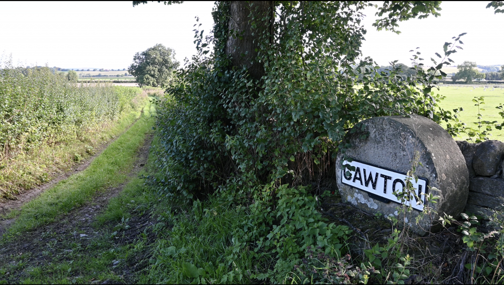
6. Locate the Public Right of Way
At the opposite side of Cawton, you will see the millstone with ‘Cawton’ hung upon it on the right hand side. Just next to it is a signpost for the Ebor Way and here we turn right and follow the public right of way.
7. Follow Ebor Way
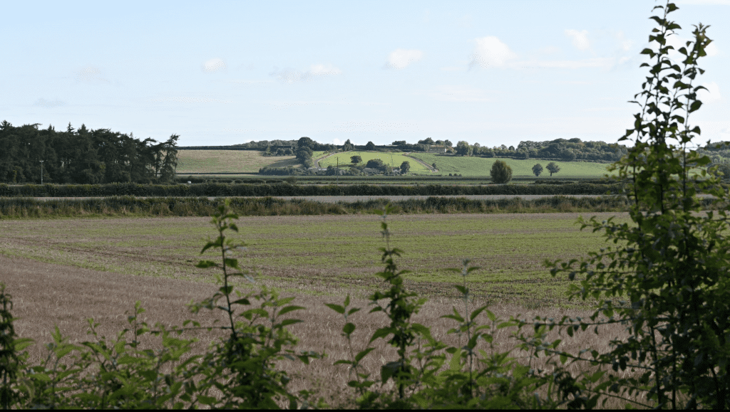
As you walk follow the way markers through a couple of fields, you find yourself on a track again after crossing a small bridge over the beck. Follow the track that takes you to the top of a hill. Here you will find Birch Farm on your left and the B1257.
8. Turn Left at the B1257
At Birch Farm, turn left and follow the grass verge beside the B1257 until you reach the turn off for Oswaldkirk.
At the turn off (on the left) we want to cross over the B1257. At the other side of the road is a farm drive. This drive is part of the Ebor Way. Follow it downhill until the drive bares right. At this point, the Ebor Way leaves the drive in the form of a public right of way.
9. Follow the Public Right of Way
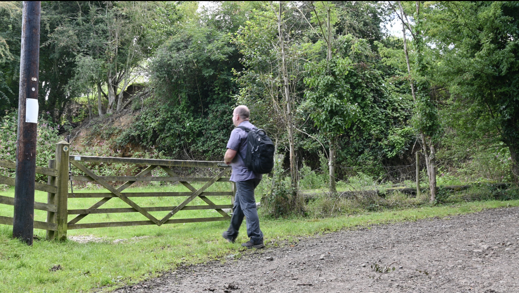
Follow the public right of way that takes you around fields and to a gate with a wood on your left. Go through the gate ensuring it is closed afterwards.
10. Walk Beside the Wood
After the gate, the route bares left and follows the edge of the wood. At the end, its goes into the wood for a short time. Head through the another gate and follow the route along the edge of a field.
11. Bare left Beside a Further Wood
You will see a wood at the end of the field and we need to follow the edge of the field beside this wood. It takes us through another small gate and further until you reach a farm track. Here turn left towards Sproxton.
12. Turn Right at the Junction
Keep following this drive straight and ignoring the junction that bares right. After the wood, turn right at the next junction. There will be a farm on the left.
13. Turn left at the Farm
After the farm, you go through a kissing gate and follow the track downhill with the farm behind you.
At the foot of the hill, you walk through a farmers gate.
Follow the public right of way left and it heads downhill further until you reach a further gate. Here you will notice a pond on your right hand side.
14. Follow the Route
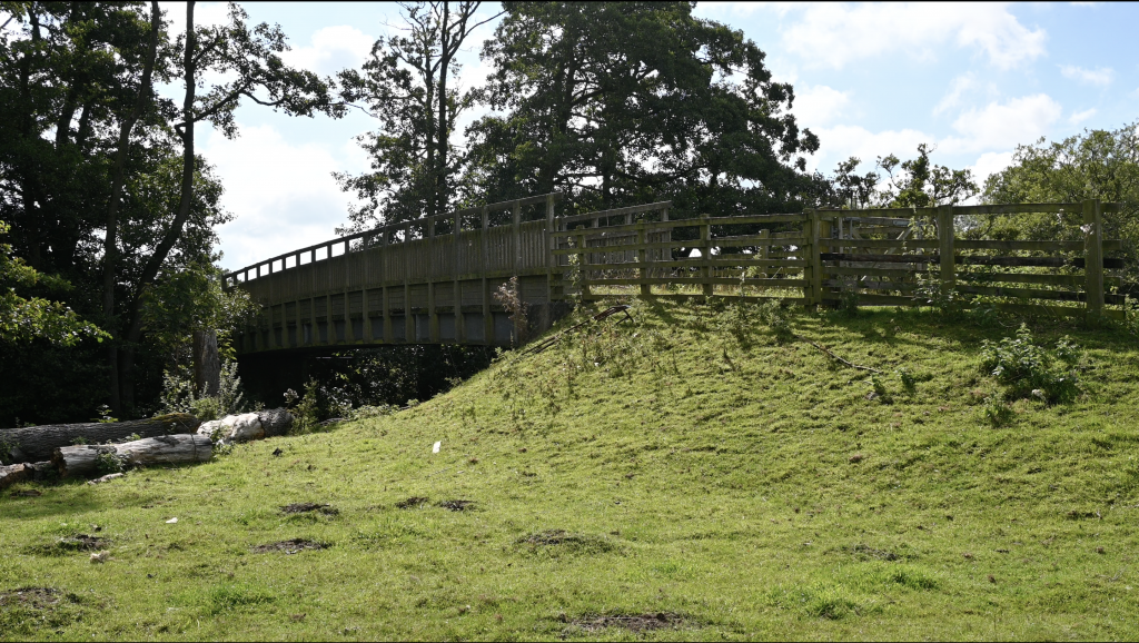
Follow the public right of way and choosing the route right that takes you over a large bridge over the River Rye. At the other side of this bridge is a Trout Farm.
15. Walk Beside the Fish Farm
The route takes you along side a working trout farm. At the other side, go through the metal gate and follow the road around. On the bend, look out for the public right of way leaving the road on the left. Follow this route with the Rye on your left hand side.
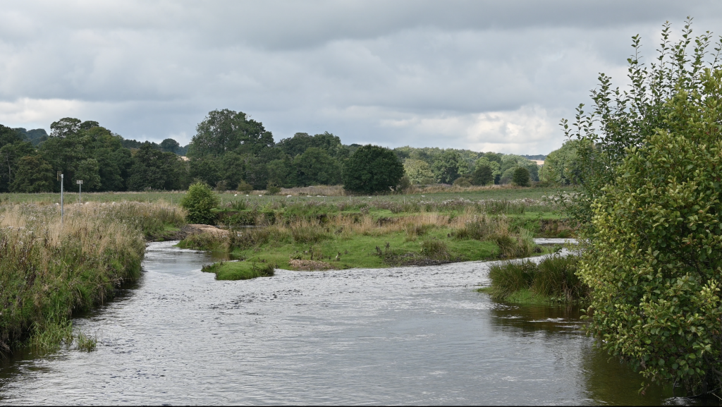
16. Keep Following the Route
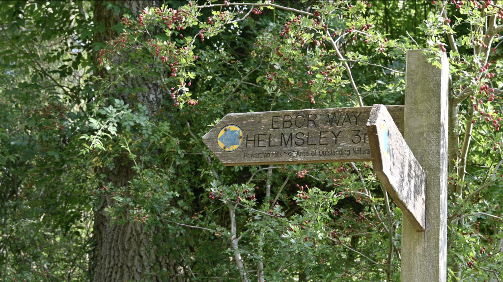
The route takes you to the River Rye going through a gate with a cattle arch on the right hand side. Here you can walk right up to the Rye The path follows the Rye for a short time until you reach a public right of way on your right hand side. This takes you all the way to Helmsley.
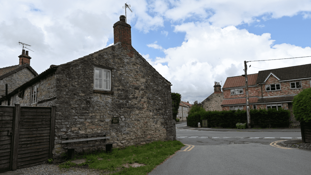
17. Turn left at the Industrial Estate
The route arrives at a small trading estate and we turn left and follow the road into Helmsley.
This completes our walk!
Useful Links
📚 Route & Guide Resources
Slingsby Village — “Walk 10: Hovingham and Ebor Way (PDF)”
A printable local walk, including path description and field gates, that partly uses the Ebor Way.
RatedTrips — “Ebor Way: Helmsley to Hovingham”
A detailed write-up of the route: distance, ascent, estimated time, and walking directions.
RatedTrips
Ramblers — “Ebor Way 7: Hovingham to Helmsley”
A group walk listing with route info, distance (14.5 km / 9 mi), difficulty “Moderate”, plus public transport hints.
Ramblers
LDWA (Long Distance Walkers Association) — Ebor Way
The official long-distance path page, with overall route description, maps, waymarking, and downloadable GPX.
ldwa.org.uk
Walking Englishman — “Ebor Way”
Covers full route, maps, statistics, and downloadable GPX files for the Ebor Way.
walkingenglishman.com
Hiiker — “Helmsley to Hovingham Walk”
Specific trail page for that section: distance (14.5 km), elevation, difficulty level, map.
Hiiker
ℹ️ Background & Context
Komoot — “Discover Yorkshire’s scenic splendour – Ebor Way”
Interactive route, user photos, elevation profiles, and segment breakdowns.
Wikipedia — Ebor Way
Overview of the full long-distance route (Helmsley to Ilkley), history, and connections to other paths.
Wikipedia
Yorkshire.com — Walk: The Ebor Way
A blog / walking guide covering the Ebor Way route, including maps and route highlights.
Welcome to Yorkshire